File:Praça Salim Buaes em 2009 2 Google Maps.jpg
Jump to navigation
Jump to search

Size of this preview: 779 × 600 pixels. Other resolution: 800 × 616 pixels.
Original file (800 × 616 pixels, file size: 88 KB, MIME type: image/jpeg)
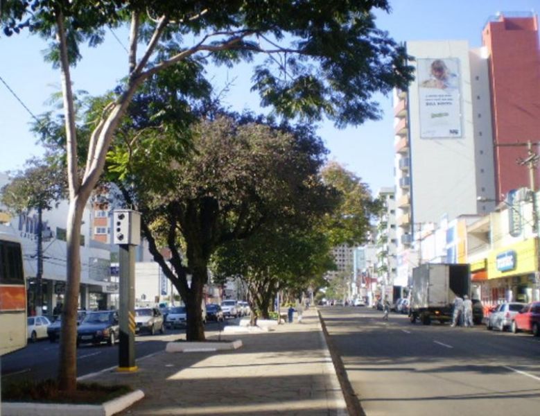
Praça Salim Buaes em 2009 2 Google Maps O canteiro central na Avenida Brasil, entre as ruas Capitão Eleutério e Bento Gonçalves.
File history
Click on a date/time to view the file as it appeared at that time.
| Date/Time | Thumbnail | Dimensions | User | Comment | |
|---|---|---|---|---|---|
| current | 08:18, 17 November 2022 | | 800 × 616 (88 KB) | Projetopf (talk | contribs) |
You cannot overwrite this file.
File usage
The following page uses this file: